Cetopo’s intuitive interface gives you full control over the data you use, and when. Our platform is an instant access portal to all of the models and drawings you need to start your project, in formats you can use effortlessly.
All in one platform for early stage design
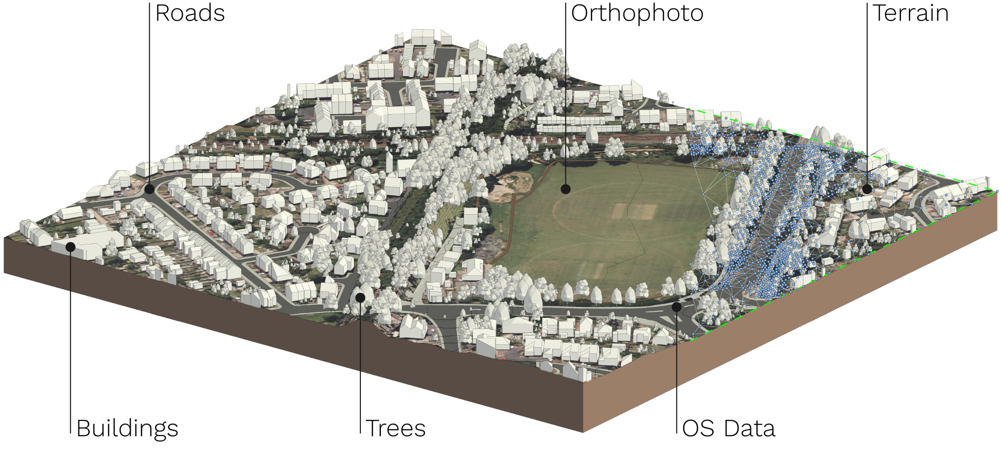
Instant access to 3D context models anywhere in England and Scotland. Includes OS MasterMap


Instant access to data you can work with

Your workflow, but better
Designed to enhance your existing workflow rather than change it, Cetopo integrates with your design tools seamlessly. Whether you use Revit, Sketchup, or another design software, Cetopo provides data in the file formats and native styles you know. Our powerful algorithm translates raw data into fully editable components, no matter which software you use.
Know your site, and design
with confidence
Cetopo makes decision making easier. Easy access to site specific and wider contextual data ensures that you can make proposals you can back up. Take control over your project timelines and costs by eliminating common bottlenecks and delays.

Collaborate effectively
across teams.
Make sure that everyone in your team is working with the same data, no matter what format it’s in. By providing unlimited downloads, and geo-located files Cetopo makes it easy to collaborate across teams – even if they’re working across different software. Sharable selections and config files streamline workflows at every stage.
Pricing that won’t hurt your fees!
Cetopo supports flexible pricing plans that suit your practice.
Trusted by 250+ companies


