How It Works
What Cetopo can do
and how to use it
Cetopo creates accurate context models from real data for software you already use
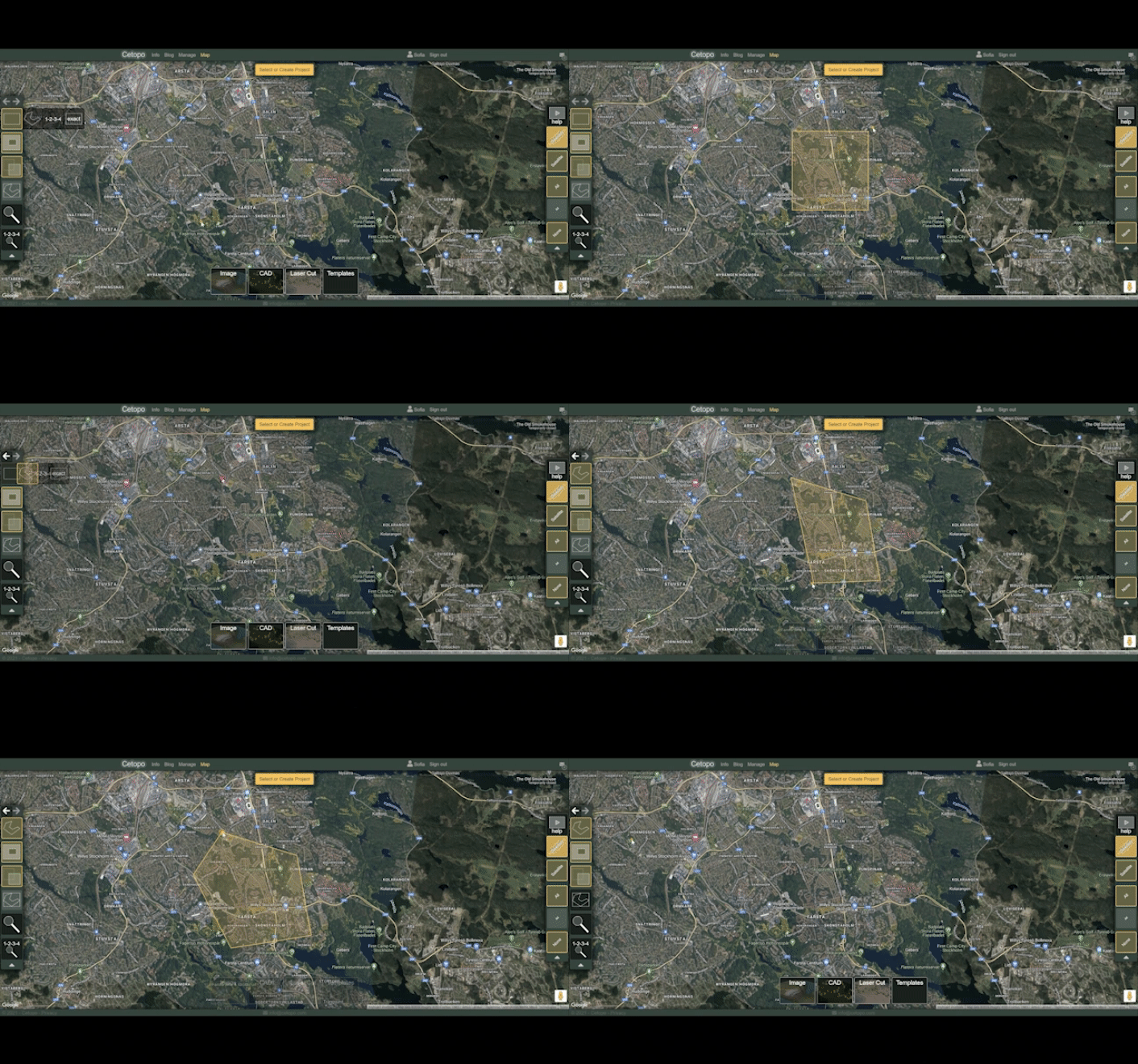
Step 1
Using one of our many easy-to-use selection tools.
Step 2
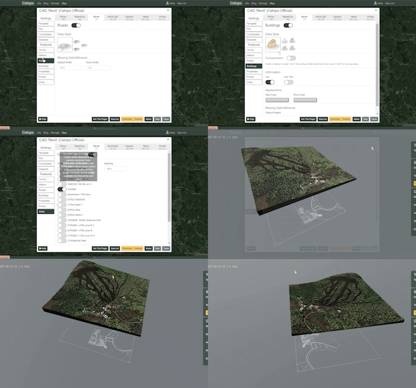
Configure and preview
Your selection. Easily control which features are included in your model. Save as a template for future use.
Step 3
Download and import
Your 3D/2D context model into your BIM, CAD or modeling software of choice. Modify and use the native model to guide your designs.
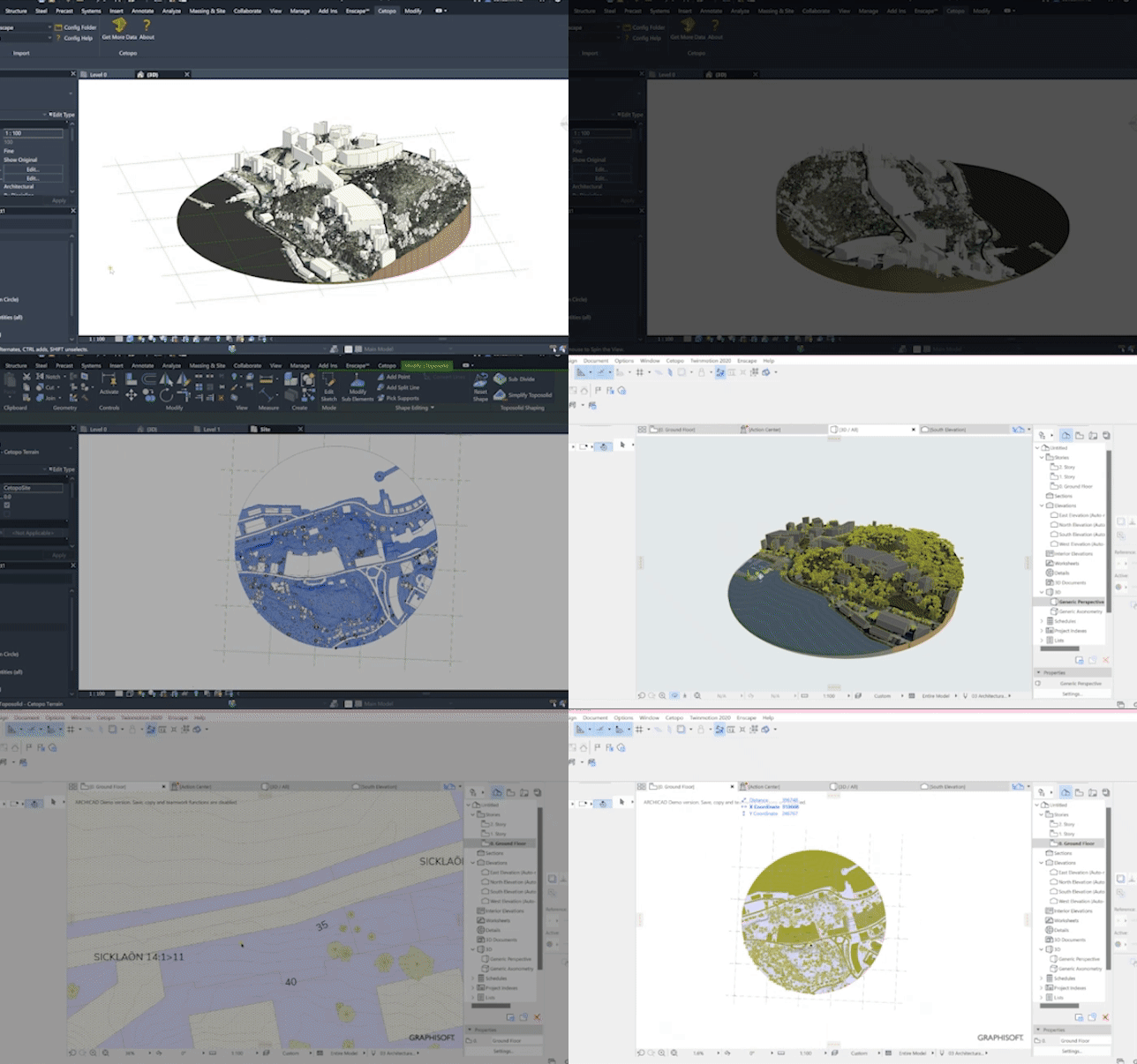
Advanced Features
Cetopo combines raw data from 50+ sources to produce accurate models with detailed terrain, buildings, trees and more
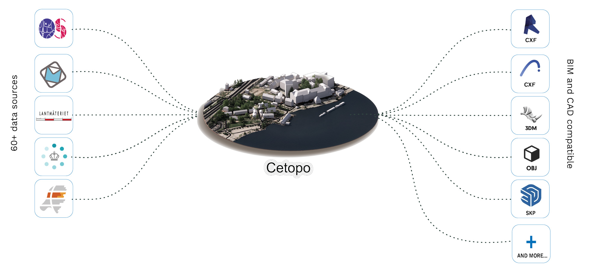
Coverage
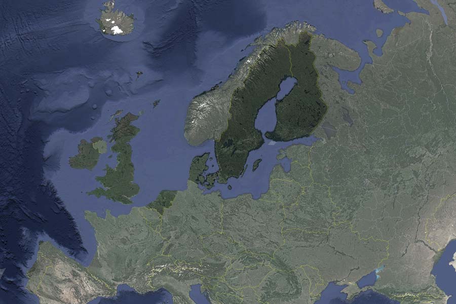
Cetopo is currently accessible in Finland, Sweden, Denmark, The Netherlands, and The UK. We are continually expanding to cover more areas and aim to offer detailed 3D and 2D models wherever data is accessible. Information on our data sources, update frequencies, and accuracy differs by region. More information on all data sources is available in our resource center.
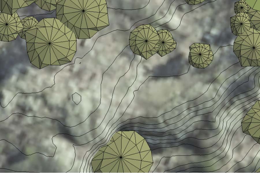
Terrain
Our highly accurate terrain meshes are produced by combining laser scanned data with official government grid surveys. In Cetopo, terrain models form the foundation for various features, providing accurate elevation data for buildings, trees, roads, and other elements.
Ortophoto
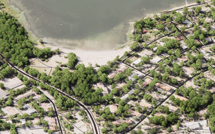
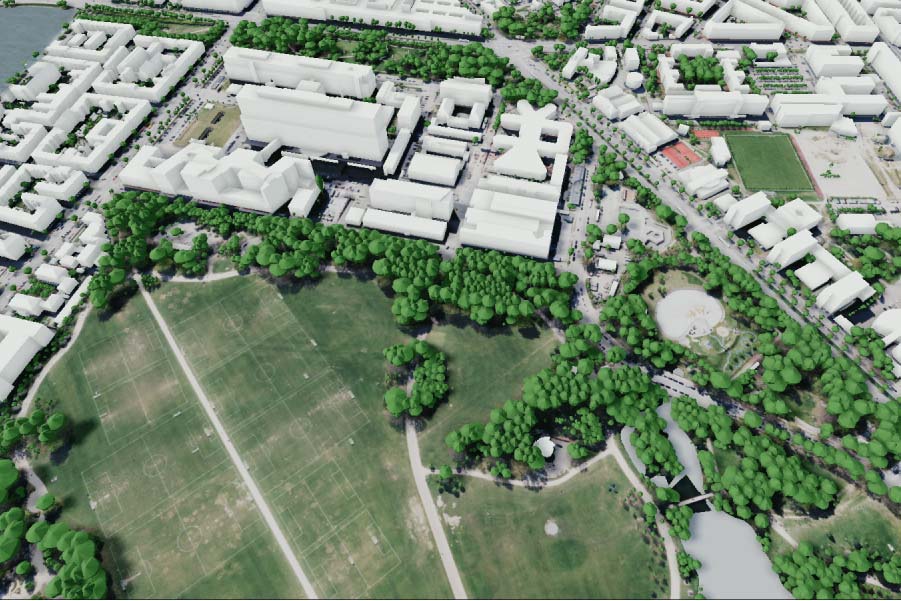
Cetopo improves its terrain models with orthophotos as terrain textures, elevating visualizations to a higher level of realism. Using orthophotos as terrain textures brings otherwise dull flat terrains to life with bushes, ditches, road markings, cars, boats, fences and other features. The source and level of detail in these orthophotos varies by country, providing resolutions ranging from 50cm to an impressive 12cm.
Buildings
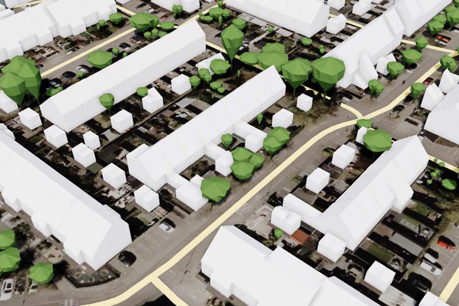
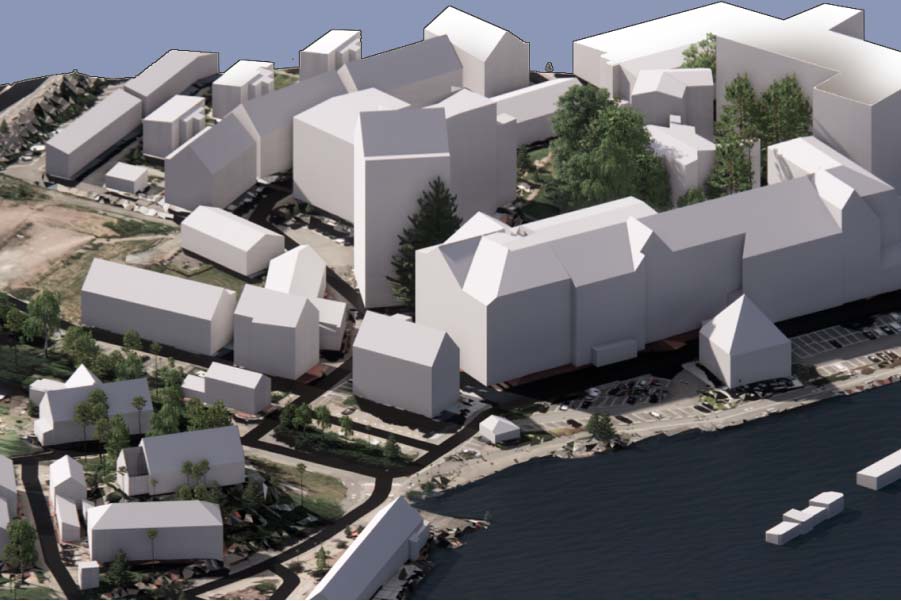
Cetopo’s 3D buildings are computed from national Lidar scan datasets and 2D building footprints. Buildings in Cetopo are depicted as Level of Detail 2 (LOD2) models. While maintaining a consistently high level of accuracy, variations may exist based on country-specific data sources.
Trees
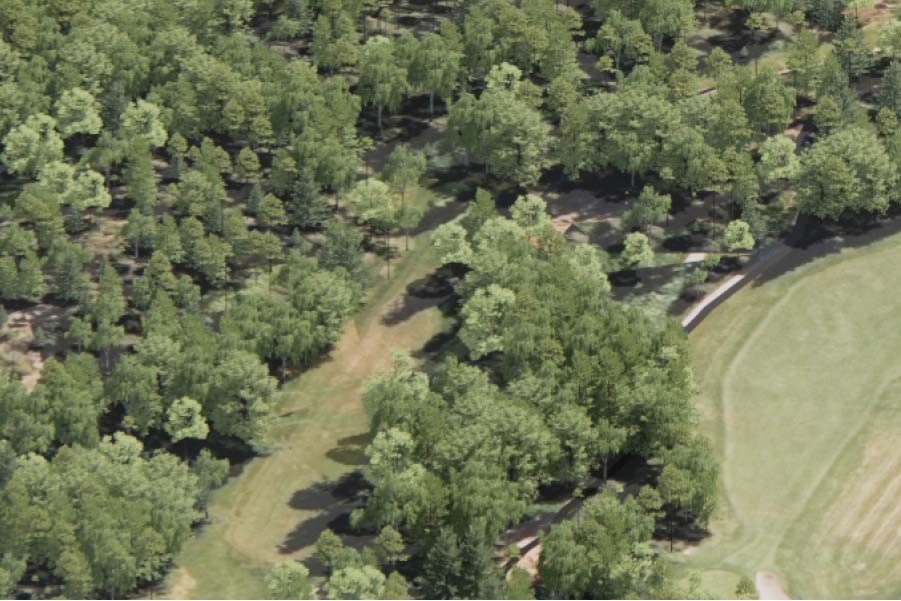
Cetopo uses point cloud data and national tree species data to create accurate depictions of forested areas and trees. Point cloud data from national Lidar scans is used to accurately show the shapes of forested areas and identify the location and size of individual trees. Our technology identifies tree species by using national tree species data, offering specific insights for each location.
Properties
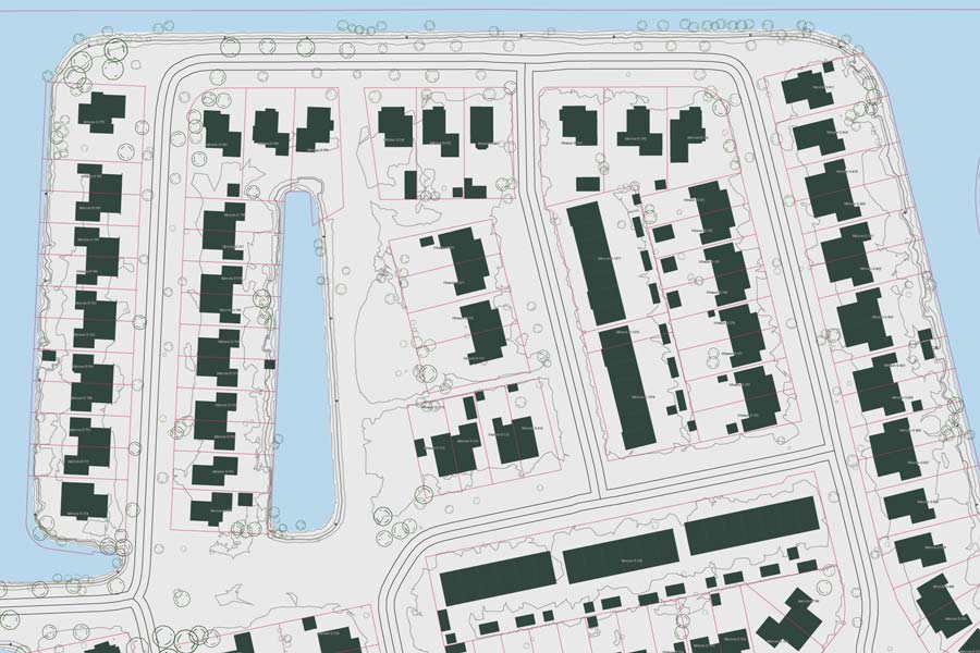
Cetopo sources property information directly from government databases. Cetopo provides unmodified 2D and 3D downloads, which include property boundaries, markers and IDs. Additionally with Cetopo’s user-friendly search function, you can easily locate a property using its ID or find the property ID based on a given address.
Roads
Cetopo uses national data surveys to determine street names and widths, and terrain data for road elevations. Cetopo integrates this information to create detailed 3D models.
