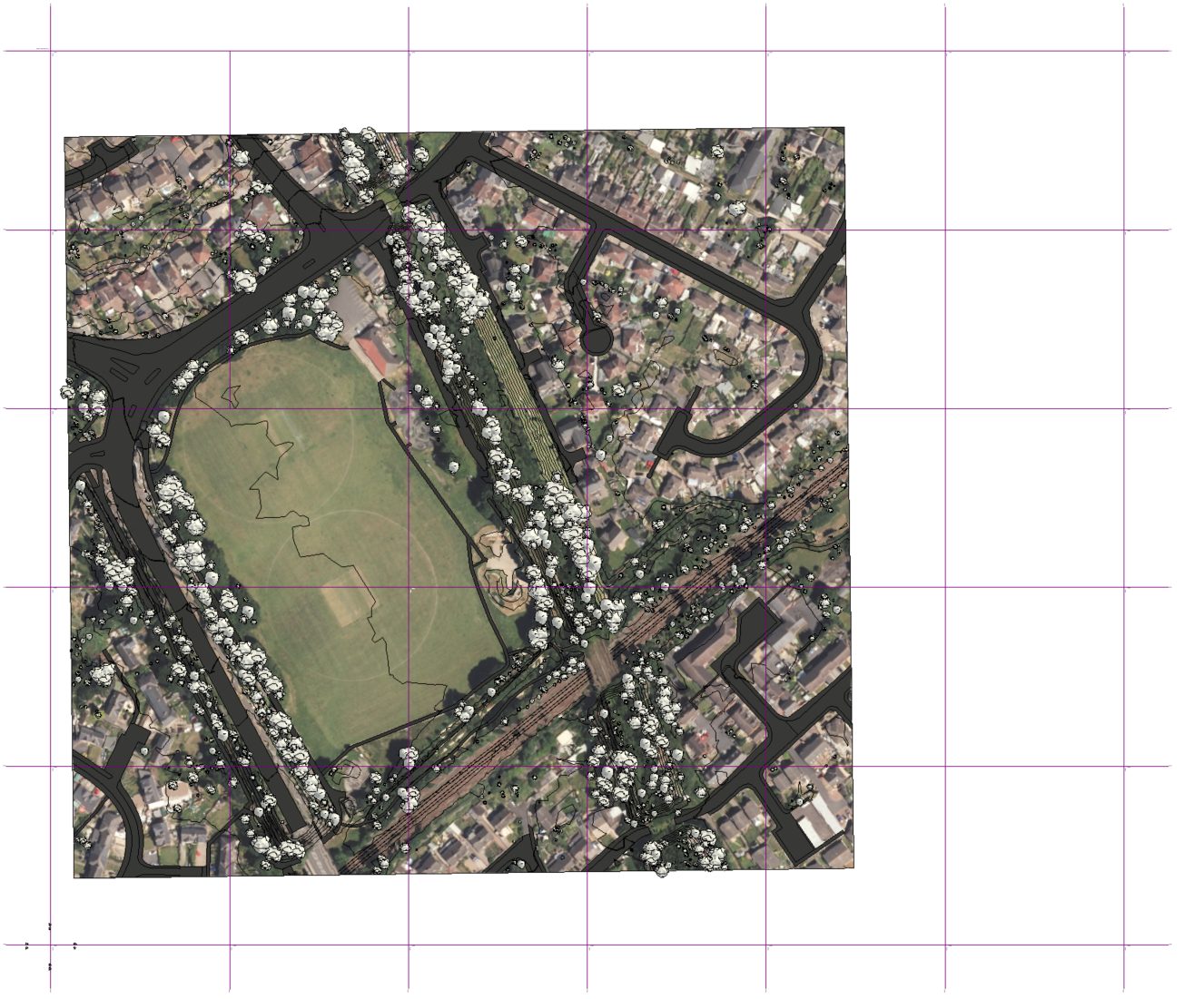
When working with maps, you may have noticed that the vertical lines of the OSGB36 grid do not align with compass north. This often leads to confusion, especially for those accustomed to the globally recognized WGS84 coordinate system. But why does this happen? The answer lies in the fundamental differences between projected and geographic coordinate systems.

WGS84: A Geographic Coordinate System
The WGS84 system represents the Earth as a 3D ellipsoid, meaning its coordinate grid directly corresponds to the planet’s natural shape. In this system:
- The vertical grid lines are meridians of longitude, which run from the North Pole to the South Pole.
- Meridians always point toward true north because they naturally converge at the geographic North Pole.
- Since WGS84 does not use a flat-plane projection, no distortions occur that could alter the alignment of these lines.
OSGB36: A Projected Coordinate System
Unlike WGS84, OSGB36 is a projected coordinate system designed for mapping purposes in Great Britain. It relies on the Transverse Mercator projection, which flattens the curved surface of the Earth onto a two-dimensional plane. This projection method introduces a key distinction:
- Grid North vs. True North
- The Y-axis (grid north) of the OSGB36 system is defined to run parallel to a specific meridian: 2°W (the central meridian of the projection).
- However, true north follows the natural convergence of meridians toward the North Pole.
- Because the OSGB36 grid remains fixed while meridians converge, grid north and true north increasingly diverge as you move east or west from the central meridian.
- Meridian Convergence and Distortion
- On the real, curved Earth, meridians are not parallel; they get closer together near the poles.
- Since OSGB36 projects the Earth onto a flat plane, its vertical grid lines do not follow the natural meridian convergence.
- As a result, the farther you move from 2°W, the greater the angular difference between grid north and true north.
Why This Matters
For navigation and surveying, understanding the difference between grid north and true north is crucial. In western England, OSGB36 grid north may point slightly east of true north, while in eastern England, it may point slightly west. This subtle but important variation can affect precision in mapping, engineering, and geographic information systems (GIS).
The Bottom Line
If you’re using WGS84, you can trust that vertical grid lines align with true north. However, if you’re working with OSGB36, be aware that grid north diverges from true north due to the projection method. This fundamental difference explains why OSGB36 grid lines don’t match compass north—while WGS84 remains perfectly aligned.
Understanding this distinction helps avoid misalignment errors in mapping and ensures accurate geospatial analysis, whether you’re an architect, surveyor, or GIS professional.
When working with a context model using OSGB36 in Revit while avoiding rotation of the model, you should manage Project North and True North correctly. Here’s how to do it:
1. Use Shared Coordinates for Proper Geolocation
- If your OSGB36 model includes known coordinates, set up shared coordinates in Revit.
- Use Manage > Location > Specify Coordinates at Point to input the correct OSGB36 coordinate values.
- This ensures that any exported data remains geospatially accurate.
Using a Cetopo model provides a quick and efficient way to set up BIM files correctly. Importing a Cetopo file at the start of a project automates the setup of site location, internal origin, and project base point by embedding accurate geolocation data. This file can then be used to seamlessly acquire coordinates in any linked Revit project.
2. Ensure Proper North Alignment for Sheets and Views
- Keep Project North for working drawings and layouts.
- Use True North for site plans and GIS-based references.
- Toggle between them in View Properties > Orientation.
By following these steps, you maintain a workflow-friendly Project North, while ensuring that the model aligns with OSGB36’s True North for accurate geospatial coordination.
Understanding the difference between OSGB36 grid north and true north is essential for accurate mapping and geospatial coordination. While WGS84 ensures alignment with true north, OSGB36’s projection method introduces a divergence that increases with distance from the central meridian. For architects, surveyors, and GIS professionals, managing this distinction—especially in tools like Revit—is key to avoiding misalignment errors. By correctly handling shared coordinates and project north settings, you can ensure precise geospatial integration without unnecessary model rotations.


